You have probably heard of GPS. Maybe you even use it regularly to get to locations which you would otherwise not have found on your own. But have you heard of the similarly sounding GIS?
GPS stands for Global Positioning System, and GIS stands for Geographic Information System. The difference between the two systems is that the first focuses on finding precise locations on a map and the second specializes in collecting, displaying, and analyzing data on maps. This geographical data might come from the GPS system, from spreadsheets, or introduced directly from users such as field geologists. But why would this process be useful?
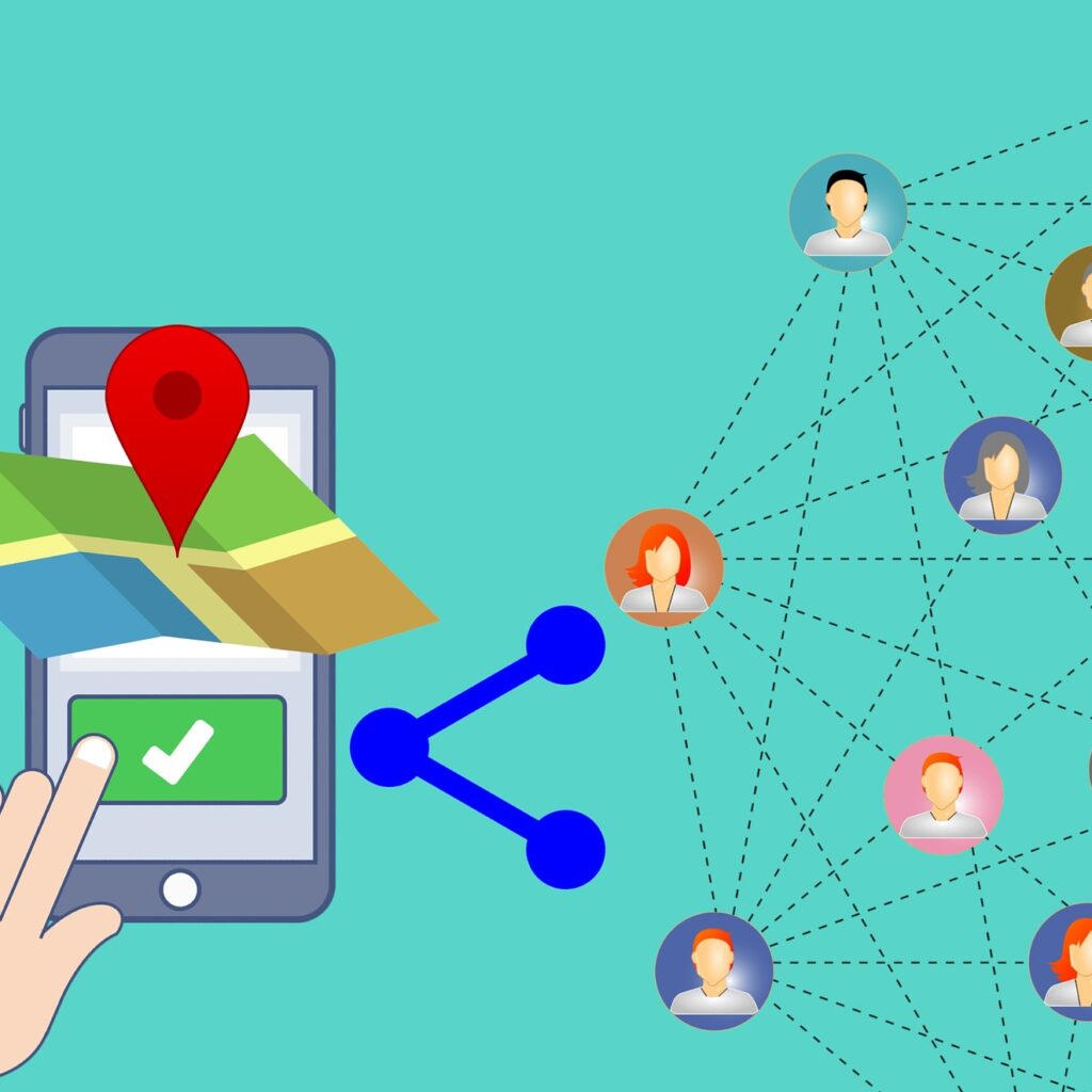
Well, GIS maps have their data laid out in layers. Looking at all of them at the same time can help the user identify new patterns and form hypotheses.
Let’s see some examples:
Let us imagine that you want to start selling your own line of clothes online. Since you don’t want the delivery service to drive too far to the customer (that raises the gas expenses, and takes longer to deliver the product), you decide to store your clothes in at a few different stations (warehouses). These warehouses must be closest to high demand areas for your product. But how will you know which areas are the best to install your warehouses? Well, with GIS software you can track the shipping location of your customers and find out if there are any cities/areas where the product gets ordered more often. You could also add to your GIS map information about when the orders are made. Knowing that you can change your working schedule to meet the demand hour. Additionally, you can add demographic information to analyze the demand for different products that you offer.